Goals:
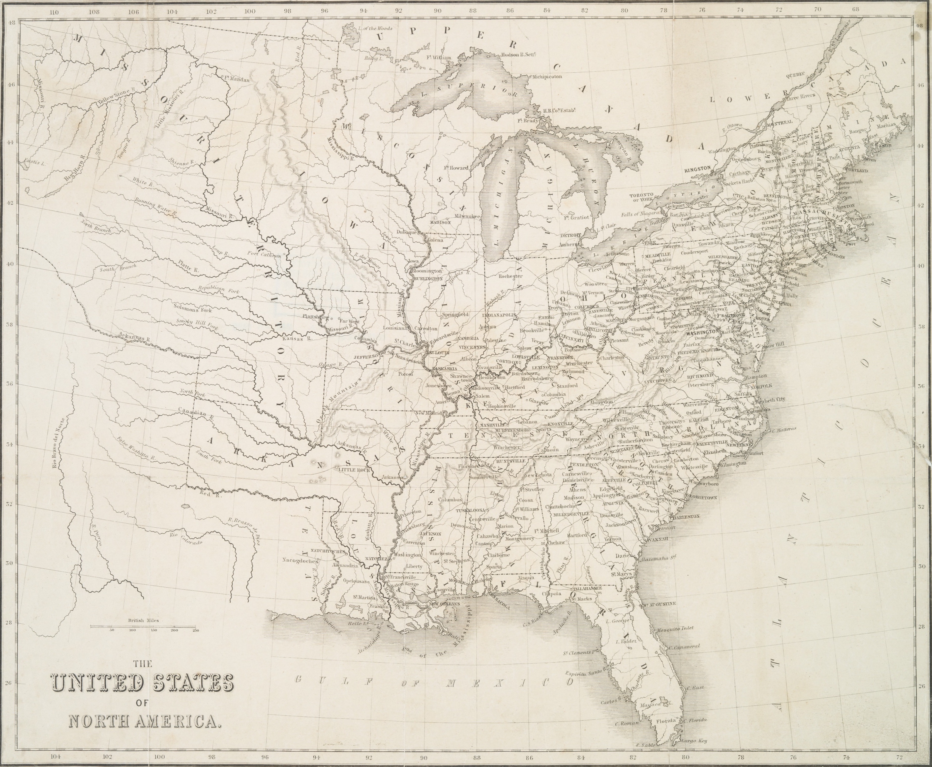
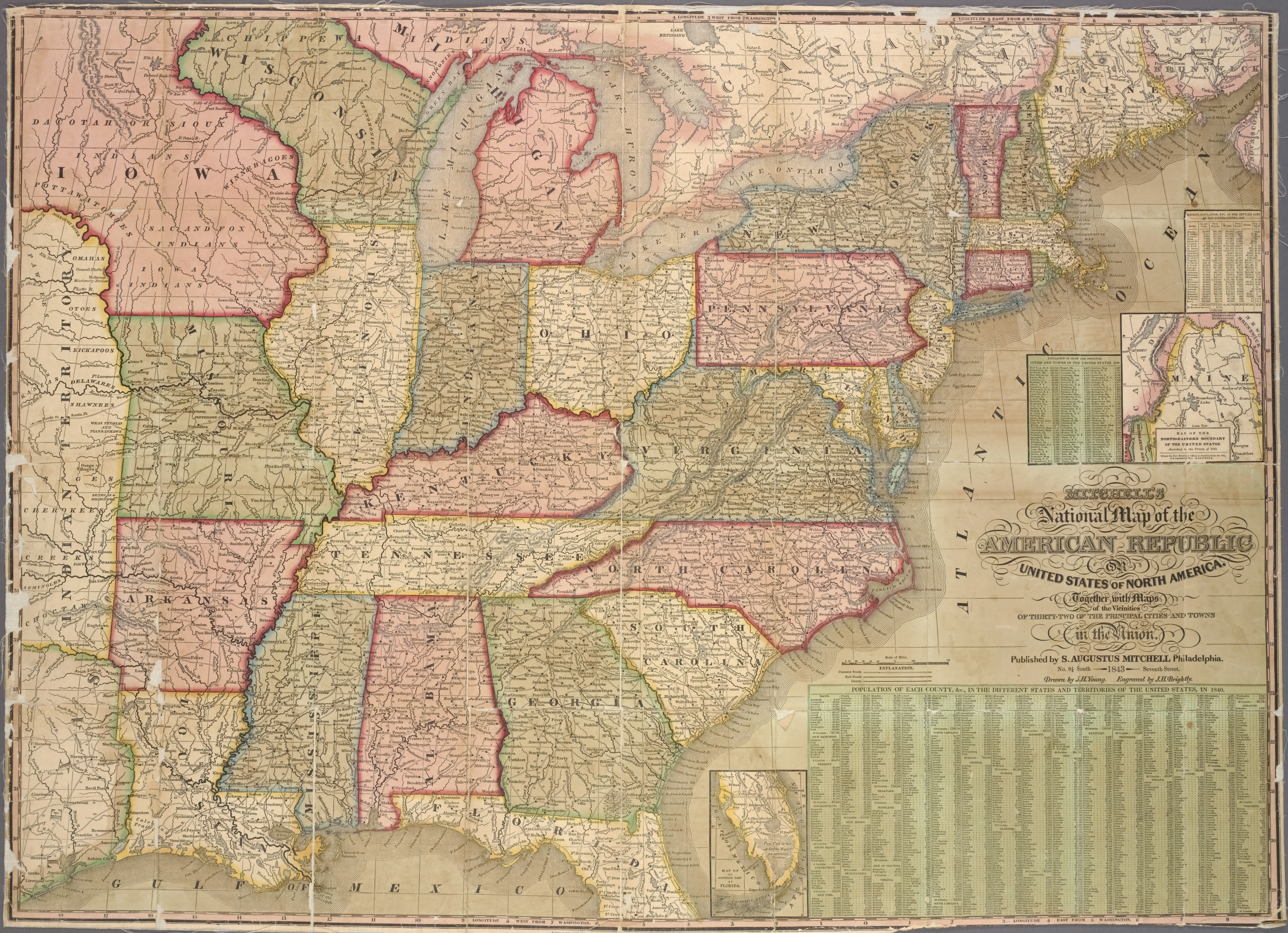
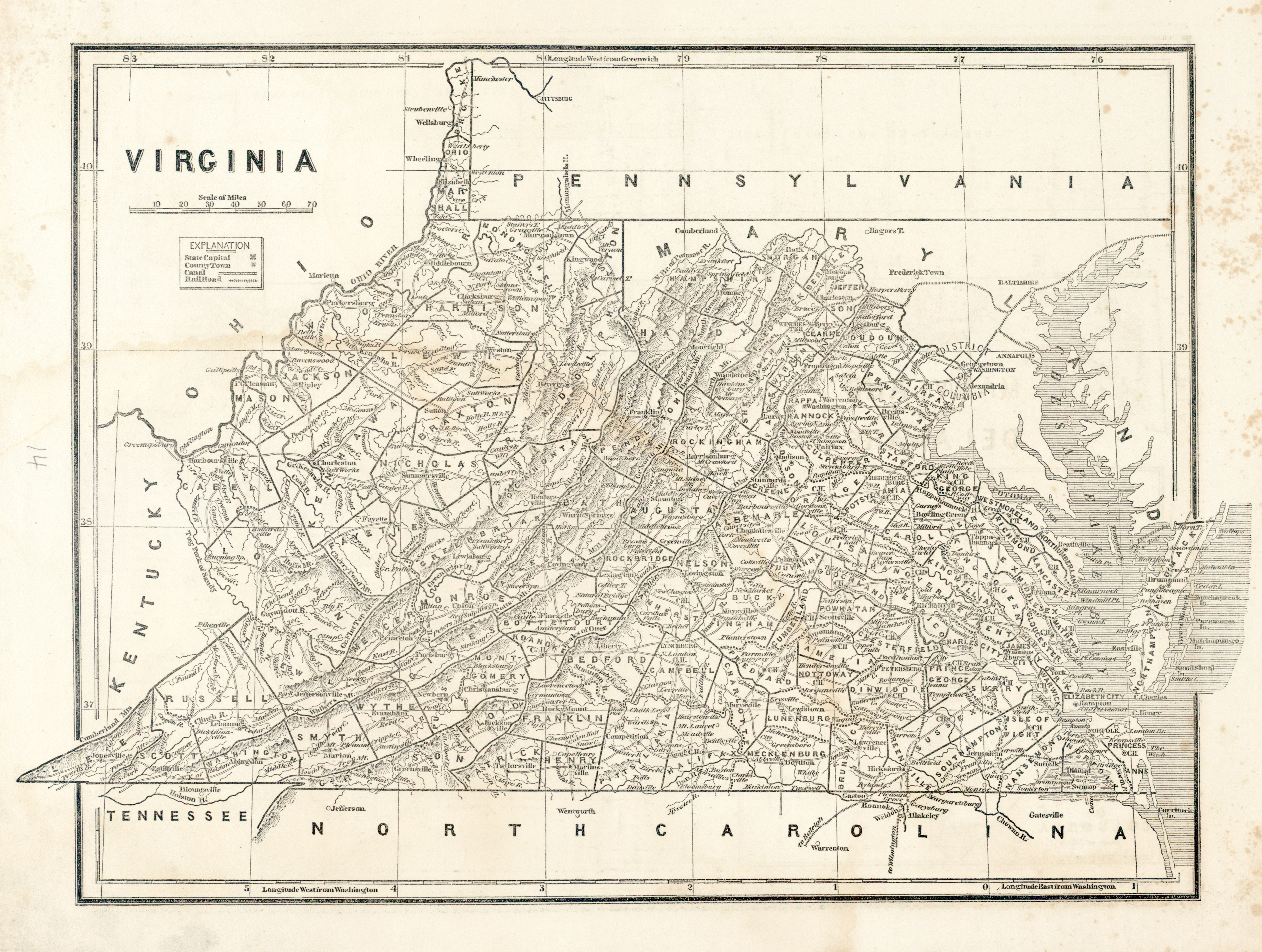
Introduction to “geographical information systems” (GIS) and some of the basics techniques. The focus will be mainly on how one can digitize an image of a map—the process of georeferencing—and extract useful geographical information from it.
Software:
- QGIS, a Free and Open Source Geographic Information System (install it from https://qgis.org/en/site/)
Class:
- Basics of QGIS
- Basics of georeferencing
Images of Maps


Reference Materials:
-
Clifford, Jim, Josh MacFadyen, and Daniel Macfarlane. 2013. “Installing QGIS 2.0 and Adding Layers.” Programming Historian, December. https://programminghistorian.org/lessons/qgis-layers.
-
Clifford, Jim, Josh MacFadyen, and Daniel Macfarlane. 2013. “Georeferencing in QGIS 2.0.” Programming Historian, December. https://programminghistorian.org/lessons/georeferencing-qgis.
Homework:
- Georeference the map of the US during the Civil War;
- Collect coordinates for place names from the map (into a CSV format: name, latitude, longitude).
- Images of Maps are above
- Codecademy’s Learn Python, Unit 3-4.
- Github: publish the confirmation screenshot as a post on your new site.